Cottonwood Seeps Basin and Wash
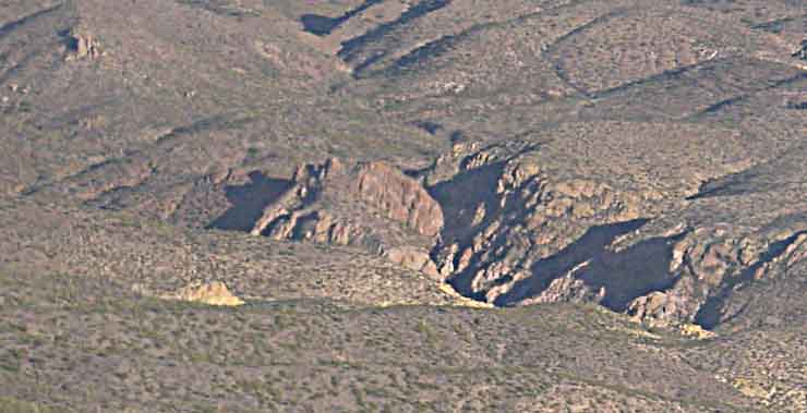
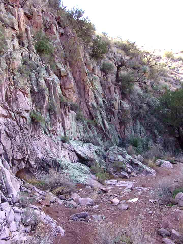
The remarkable banner photo above, taken from a McPherson/Smith-Lovin airplane in March of 2001, looks roughly eastward and shows some central features of this part of Saguaro Juniper lands: three major landmarks -- the Red Face, at dead center of the photograph (a "head looking upwards"), immediately to its right the Cottonwood Seeps Flume (the deep and shadowed cut where the Wash drops into Hot Springs Canyon], and Elephant Head rock, in the upper left corner of the photograph. The center of the Basin lies behind the Red Face and to the right of the Elephant Head.
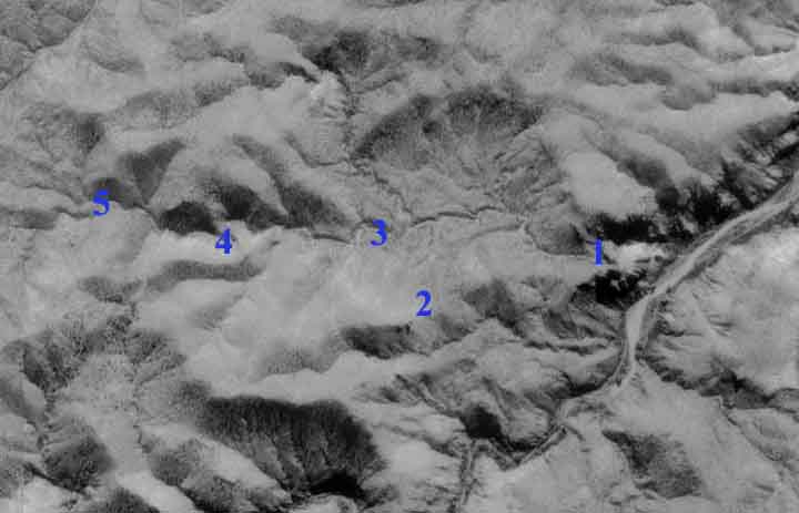
The aerial photograph below (thanks to the USGS and TerraserverUSA) is placed here with South at the top and North at the bottom, because the geographical features read better this way. No. 1 is the location of the Red Face and the Flume; No. 2 marks the location of Elephant Head rock, No. 3, Lower Cottonwood Seep, No. 4, Cottonwood Seep Canyon, and 5, Upper Cottonwood Seep. The main tributaries of Cottonwood Seeps Wash -- which enters the image from middle far-left in the photo, and drops into Hot Springs Canyon at middle right -- begin well to the northeast, in the far Northeast Corner of our lands and even beyond there, further northeast in the Muleshoe Preserve, whence the combined stream runs southwestward into our High Tank. Below the High Tank the Wash turns westward until eventually it drops into Hot Springs Canyon as we see here in the lower right quadrant of the photo. The somewhat circular shape of the Basin is nicely shown here, its northern boundaries running roughly between 1, 2, and 3.
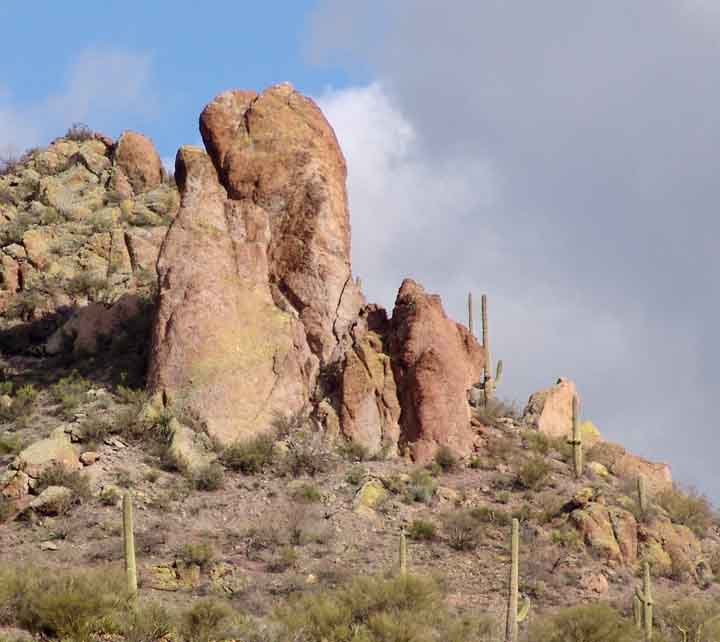
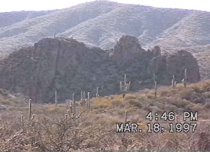
The Basin itself is mostly composed of Galiuro Volcanics Formation. We have not explored the Elephant Head or the Red Face closely -- this is a project for the future, but these two images below provide some idea of what is there. Below left, Elephant Head viewed from Hot Springs Canyon; Below right, the Red Face seen from a northeast slope of the CWS Basin looking westward.
Click on each image to enlarge it.
 .....
.....
The Flume (No. 1)
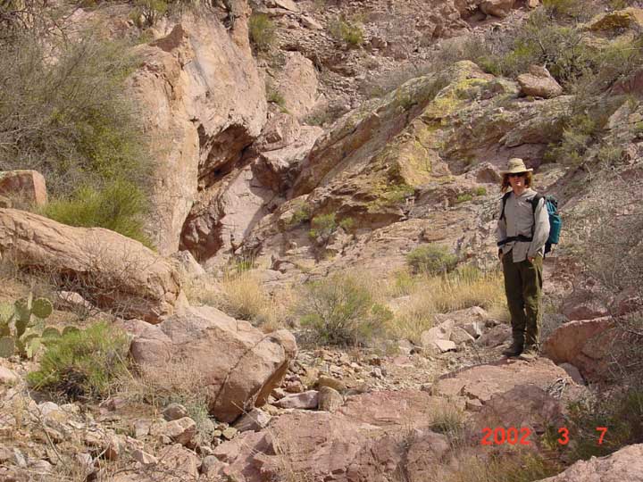
The deep flume of Cottonwood Seeps Wash Canyon is most impressive approached by way of the west end of the basin, where the wash ends in a spectacular drop-off. Only very expert rock climbers should try approaching it from below!
 ...
... ...
...
Left above: the sensation of open space (and updraft) when standing at this drop-off is very palpable. Middle: Hot Springs Canyon is bathed in bright sunlight below. Right: looking down into the flume.
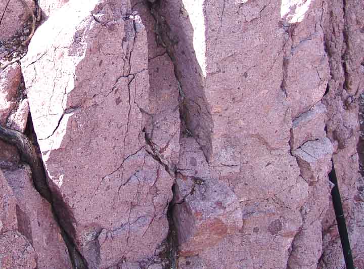
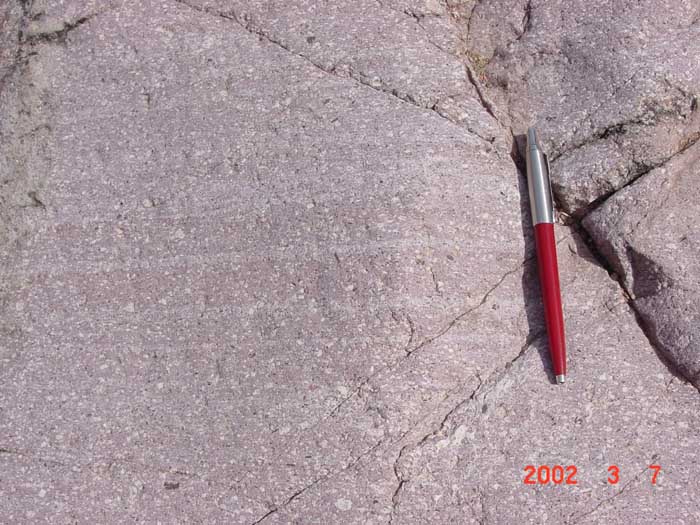
All these rocks are Galiuro Volcanics, though some are finely stratified, looking almost like sandstone:
 .....
.....
We will attempt more detailed comments on these rocks when we get some experts to view them closely.
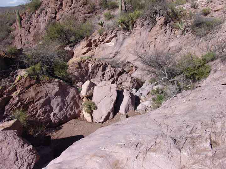
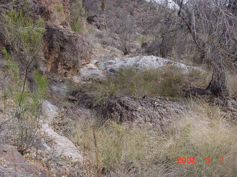
Lower Cottonwood Seep (No. 3)
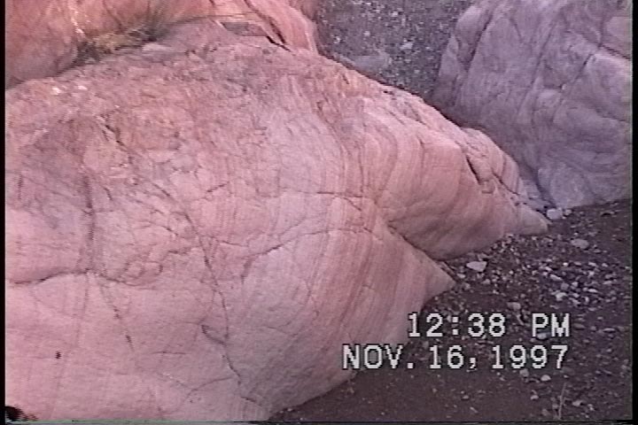
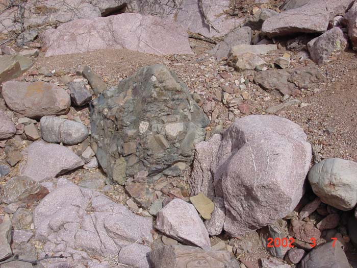
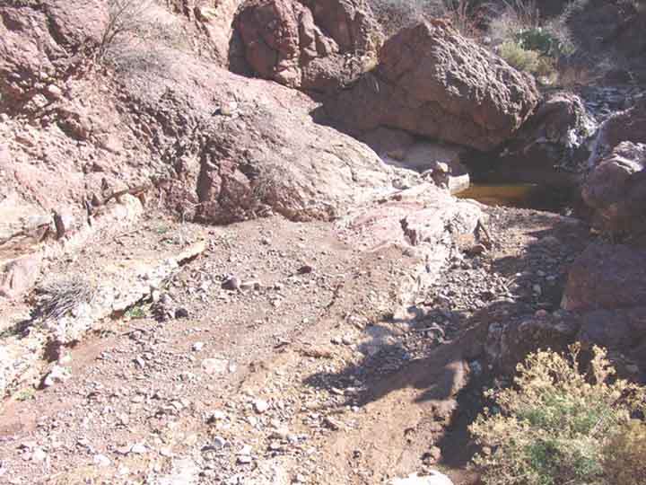
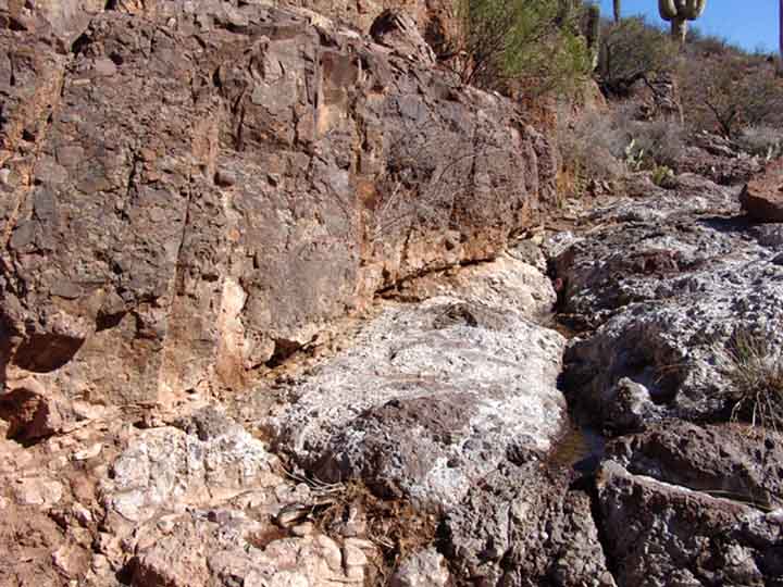
Moving upstream from the flume, just above Lower Cottonwood Seep we encounter a lens of gray ashflow rock which forms the basis for the seep: Below left, a view of this lens, which outcrops at this point.
 ...
...
 ...
...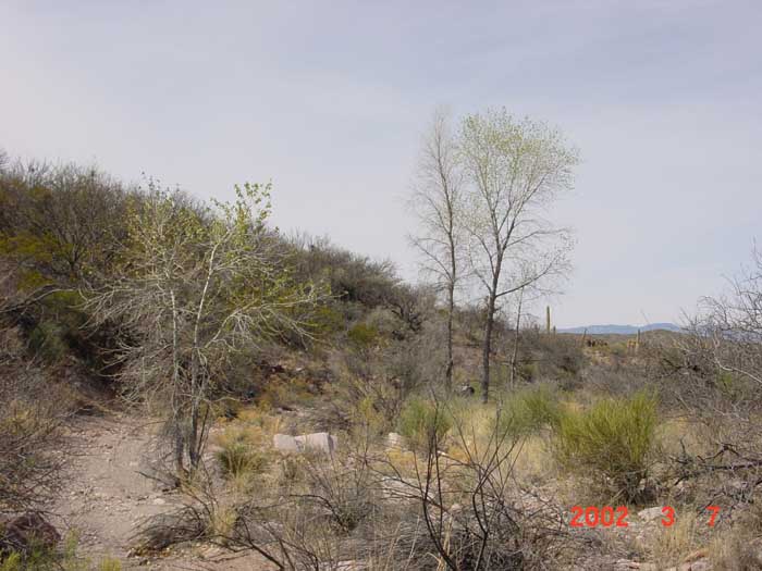
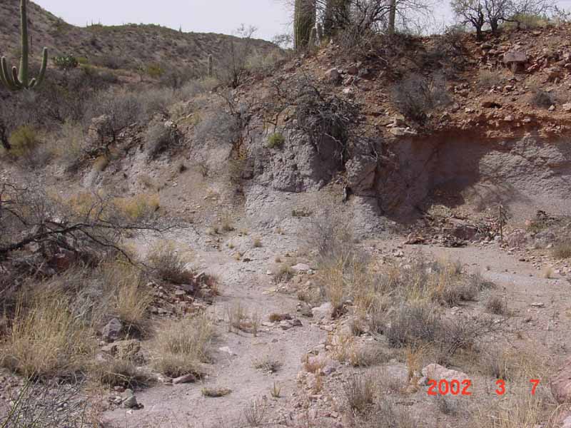
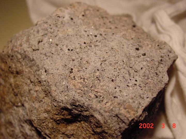
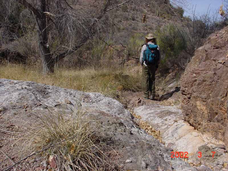
Above Left, the wash runs toward the wall mid-picture, which is the gray ashflow rock eroding under the force of the wash, which bends sharply to the left here. Middle: this rock (photo taken under artificial light -- the rock is very gray) is quite hard in its dry form, with many tiny crystals (either black or micaceous-reflective, only a few of which are more than a millimeter across, and looking rather tetragonal in form). When wetted the rock becomes crumbly. The layer runs from the lens shown at left (the photographer stands on it, and it runs further up the hill to the right), further downstream where it forms the substrate of the wash underneath the cottonwoods (see the Right photo). Clearly this material is the bedrock basis for the Seep which forms here. Of the cottonwood trees shown above right, only the left-hand pair have survived the consecutive three years of drought our area has suffered since the photo was taken, in March 2002. Another probable contribution to this outcome was the reconstruction, in 1998, of the High Tank well upstream from this Seep.
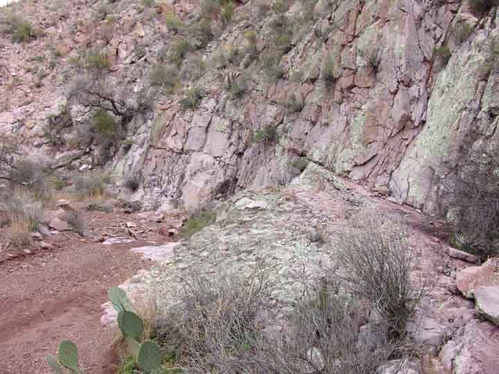
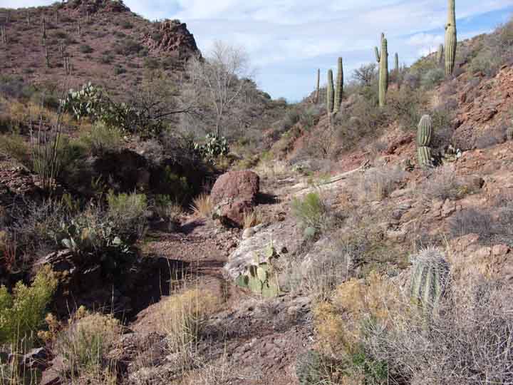
From this point, we continue upstream, through what appears to be a rather soft rhyolite bedrock. This appears to become a much harder material at
The Rhyolite Waterfall
Below left, Kevin Henderson stands to the right of the Waterfall flume, running down at left-center in the image. Note the diversity of volcanic formations meeting at this location. Below right, a view from above the Waterfall, again showing diversity of volcanic forms, with some very hard material forming the lip.
Click on each image to enlarge it.
 .....
.....
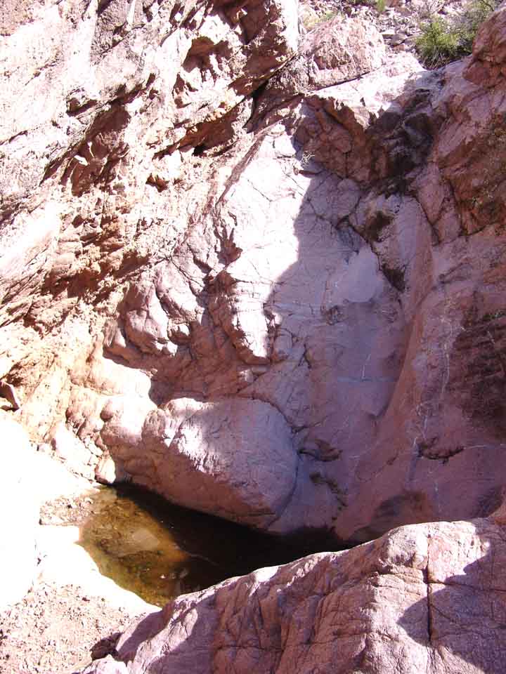
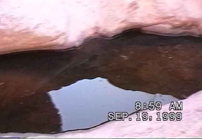
The Waterfall itself is about 20 feet deep. Below left, a closer view of the rock at the lip; below center, a view down into the pool. Below right, the bottom pool in September of 1999. This deep-sanded tinaja holds water for a long time during drought.
 ...
... ...
...
Bear in mind that moderate rock-climbing skills are required to traverse this waterfall.
Cottonwood Seep Canyon (No. 4)
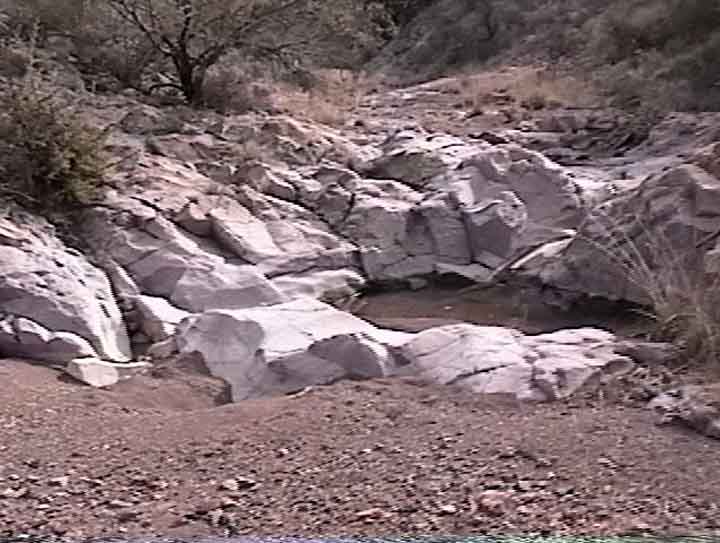
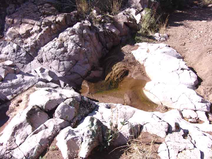
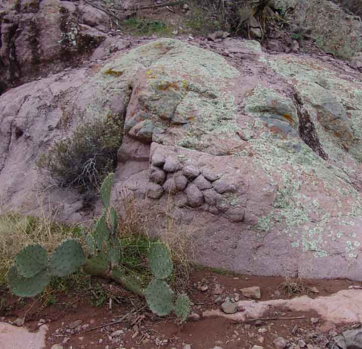
Above the waterfall area, the canyon steepens, narrows, and twists, and along the way Tinajas are formed where there are outcrops of very hard rock. Below are two examples, the one at left considerably larger than that at right. Note how the one at right is formed by two very different kinds of rock.
Click on each image to enlarge it.
 .....
.....
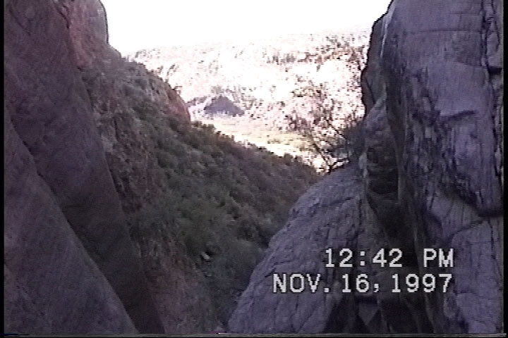
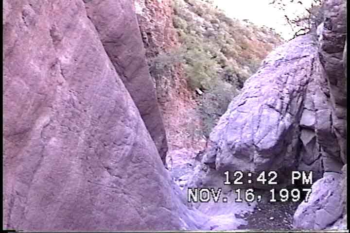
At the narrowest twist of the canyon lies this steep, north-facing wall below. At left, a view from downstream; at right, from upstream.
 .....
.....
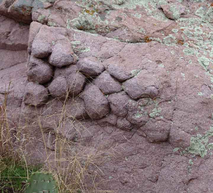
Nearby, below, distinctive Galiuro Volcanics materials are exposed which originally crystallized slowly, underground, into the classical hexagon forms that are often called "devil's postpiles". At right, a closeup of the forms. Click on the images to enlarge them.
 .....
.....
Shortly downstream from the Upper Cottonwood Seep, the Galiuro Volcanics, in the form of very hard rhyolite bedrock, cuts across the Canyon: At Left, water-sculpted rhyolite bedrock; in the Middle, streaky rhyolite rock close-up; at Right, rhyolite boulders loose in the wash downstream from the Upper Seep are now mixed with some of the Cascabel Conglomerate from the area of the Seep.
Upper Cottonwood Seep (No. 5)
Below left, looking back downstream, Galiuro Volcanic outcrops drape the entryway to the Canyon. Below right, lenses of recently deposited calcium carbonate strung along the wash edges at this point attest to the regular flow of water as we approach the Upper Seep. The Cascabel Formation appears as a dark red conglomerate at this poiint, with the entryway to the Seep just visible in the upper middle of the right-hand photo. Click on each image to enlarge it.
 ....
....
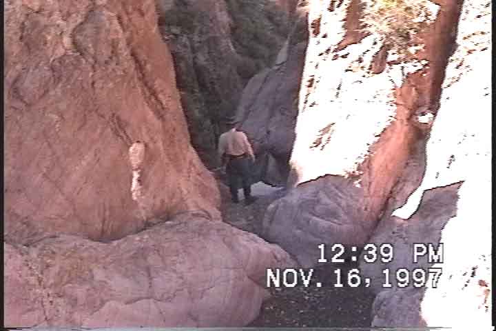
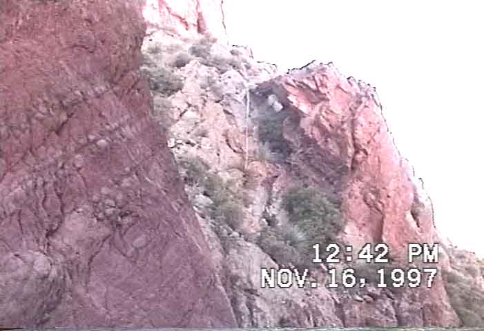
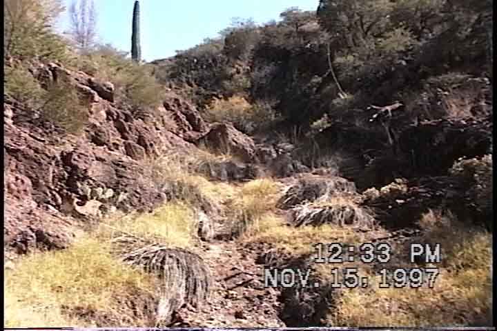
In the images below, the main part of the seep proper is around the bend to the left The Cascabel Conglomerate here has different appearance according to how much calcium carbonate has been deposited where water is seeping through and over the rocks. At left, a view toward the lower pool in November 1997, when the seep was flowing regularly. At right, the scene at the pool in January 2005, after rains but during our drought.
 .....
.....
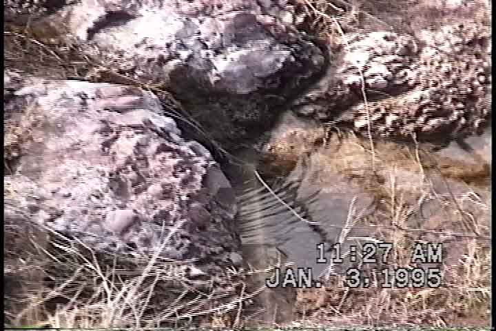
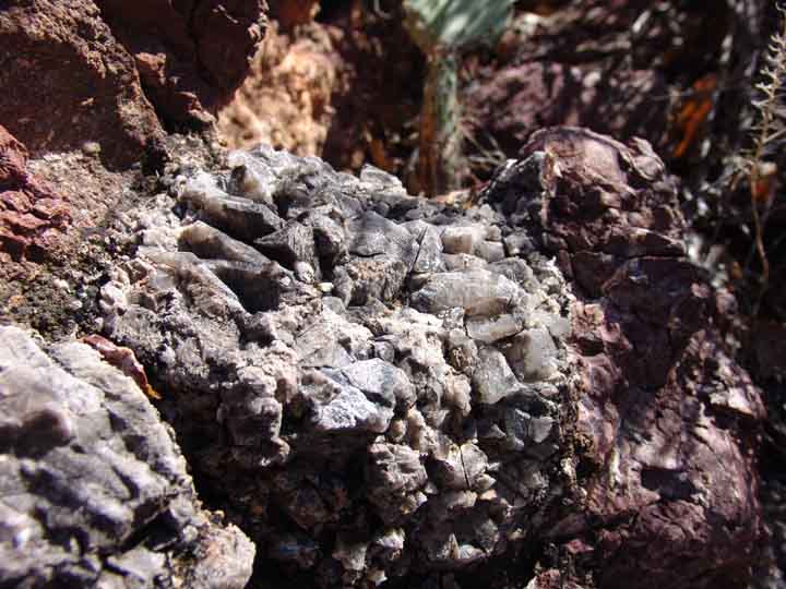
Below, a flowing pool in January 1995. Note the calcium carbonate wash on the rocks. Below right, an outcrop of calcite crystals embedded in the conglomerate above the stream at this point.
 .....
.....
Below, the location of the main seepage. At left, a view looking upstream from the main stand of riparian trees illuminates the carbonate residue emerging from between two roughly horizontal layers of conglomerate rock. In the middle, looking downstream into the riparian grove; at right, a closer view of the seep boundary between the two conglomerate layers.
 ..
.. .....
.....
Upper Cottonwood Seep marks the entry point going downstream into Cottonwood Seeps Canyon. In the photo below, left, one looks toward the Upper Seep from upstream, with its cottonwoods just beginning to show leaves. Note that evidence of seepage along the wash flanks continues to appear further upstream.
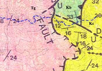
This Upper Seep is located close to a triple geological boundary, where Cascabel Formation (Kc, yellow) to the east meets both Willow Canyon Formation (Kb, green) and Galiuro Volcanics (Tg, pink) to the west. The seep itself however is located within the Cascabel Formation. We will demark the position of the Upper Seep better on this map as soon as we remember to GPS it.
For a summary placing the Upper Cottonwood Seeps proper in their geological context, see Geology Walk: Older Patterns, and see also Meader: Geological History of our Area.