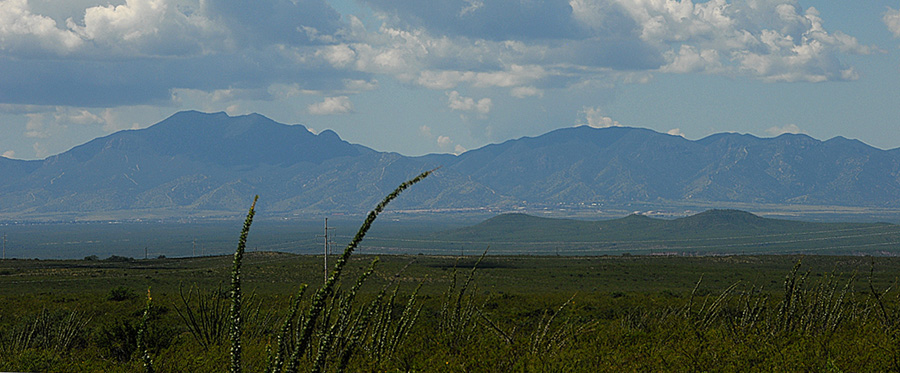
The Huachuca Mountains
Above, a view on September 2, 2008 of the central portion of the Huachuca Mountains as seen from the bajada flanks of the Dragoon Mountains on the eastern side of the San Pedro River valley. Click on the image to enlarge it.
The Huachucas are a high-ranging Sky Island, from Huachuca Peak toward the north above 8400 feet in elevation through Miller Peak toward the south at more than 9400 feet, descending to Coronado Peak in the Coronado National Memorial near the Mexican border at just 6600 feet. Much of the central part of the mountain is designated as the Miller Peak Wilderness, and most of it is within Coronado National Forest boundaries.
The TOPO! map below shows the main body of the mountains, emphasizing its connection to the San Pedro River side, showing its eastern dissection into canyon corridors, its widespreading bajada, and delineating the extensive urban development that has transformed much of its eastern front. Note particularly the red lines denoting main highways, which are highly significant barriers to the migration of terrestrial vertebrate wildlife in this area. Click on the map to enlarge it.

Many of these canyons on the eastern side still function as very important wildlife corridors, especially for birds and other flying creatures, and some of them also accommodate considerable movement of terrestrial wildlife. For details on the richness of this Sky-Island as a bird refuge for the portion of our river valley located closest to the tropics, see the SABO Guide to Huachuca Birds.